


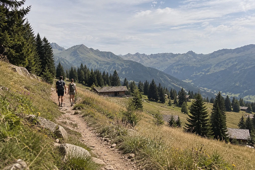
Around Megève, Combloux and Saint-Gervais, there is no shortage of easy hikes: most are between 1.5 and 5 km long, stay under 260 m of elevation gain and take one to two hours. Along the way you pass baroque chapels, mountain-pasture hamlets, forest lakes and, almost everywhere, Mont-Blanc in the background. Several start right in the village centres, while others use a gondola to spare you the climb.
Here is the HOMKA team’s selection: seven walks for families and beginner hikers, spread between Megève, Combloux and Saint-Gervais. For each one, we give the starting point, distance, elevation gain and time published by the tourist offices, followed by our practical tips and the routes to follow once the snow has arrived.
Megève: three walks from the village
The Chemin du Calvaire, fifteen chapels above the village
This is the cultural walk par excellence. It starts in the village, between the Casino car park and the restaurant Le Vieux Megève, up a flight of steps leading to the Saint-Michel cross. Built between 1840 and 1878, the path is lined with fifteen chapels and oratories: it is one of the very few “sacred mountains” in France, and is now a listed historic monument.
- Distance: 1.6 km, loop
- Elevation gain: 155 m
- Time: about 1 hour
- Highlights: views over the upper Arly valley and the foothills of Mont-Blanc
The climb is steep at first, but short. The Calvaire can be walked in any season, with a dedicated winter route.
Moulin Contant and the hamlet of Le Planay, along the stream
Starting from the car park opposite the chalet de la Livraz, this loop crosses meadows and forest to Moulin Contant, where farmers once came to grind their wheat: the remains of millstones can still be seen in the meadow. The path then follows the Planay stream to the picturesque hamlet of the same name, before heading back down past the Bacré farm.
- Distance: 3.8 km, loop
- Elevation gain: 116 m
- Time: about 1 hr 05
- Season: spring to autumn
- Good to know: suitable for all-terrain pushchairs, reachable by Meg-bus
The Croix du Bouchet loop, pushchair all the way
The gentlest of the three. From the village, follow the Rochebrune road to the Croix du Bouchet, then return via the Meu road and the Crêt du Midi road. The route is paved throughout and sunny.
- Distance: 4.4 km, loop
- Elevation gain: 103 m
- Time: about 1 hr 30
- Season: spring to autumn
- Good to know: suitable for city pushchairs
To make a day of it, find our ideas in what to do in Megève.
Combloux: chapels and pastures facing Mont-Blanc
From Ormaret to Le Champet, the panoramic loop from the tourist office
This walk starts at the Combloux tourist office and climbs along country paths, via Le Champet and the chemin des Poses, to the hamlet of Ormaret and its chapel. You pass through rural Combloux, with its still-working farms, before heading back down via La Balancerie, Le Bouchet, the Louparc play area and the church. Mont-Blanc stays in view the whole way.
- Distance: 4.5 km, loop
- Elevation gain: 180 m
- Time: about 2 hours
- Season: all year round
- Good to know: suitable for all-terrain pushchairs; a variant via Cuchet adds about 40 minutes
The Prapacot and Planset pastures, the quiet side
Starting from the small Les Intages car park, this loop reveals the least-visited side of Combloux: old mountain farms, complete peace and quiet, and views over the Arve valley beneath the Fiz range. It is rated “moderate”, a good goal for children who are already used to walking.
- Distance: 5.1 km, loop
- Elevation gain: 255 m
- Time: about 1 hr 40
- Highest point: 1,437 m
- Season: 1 May to 16 November
The rest of the programme is in what to do in Combloux.
Saint-Gervais: let the gondola do the climbing
Lac de Joux from Mont d’Arbois
The tourist office describes it as a must for families. Ride up on the Le Bettex – Mont d’Arbois gondola, then follow a wide 4x4 track towards Mont Joux to reach Lac de Joux, with views of Mont-Blanc all along the way.
- Distance: 4.2 km
- Time: about 2 hours
- Level: easy
- Season: summer, depending on gondola opening and the weather
The Sentier des Écoliers, from Le Bettex down to the village
The idea is simple: take the gondola up to Le Bettex, rucksack on your back, then walk back down to Saint-Gervais across the hillside, just as schoolchildren used to do. A hike with no climbing and Mont-Blanc straight ahead, ideal for legs that prefer going downhill.
- Distance: 4.1 km, downhill
- Time: about 2 hours
- Level: easy
More ideas await in what to do in Saint-Gervais.
Lifts, rucksack and weather: getting ready
Gondolas open to walkers in summer
Several lifts run in summer for walkers, one way or return. In 2026, the dates were as follows (2027 dates are still to be confirmed):
- Megève: Mont d’Arbois gondola from 20 June to 6 September, Rochebrune cable car from 4 July to 6 September, Jaillet gondola from 4 July to 30 August.
- Combloux: Beauregard gondola from 13 July to 20 August, on Mondays, Tuesdays and Thursdays.
- Saint-Gervais: Alpin and Le Bettex – Mont d’Arbois gondolas from 26 June to 30 August.
What to pack
Even for a one-hour walk, good shoes with grippy soles make all the difference on dirt paths. Bring water, a snack, a warm layer and a windproof jacket, a cap and sun cream: at altitude, the sun is strong even when the air is cool. Tourist office route sheets often offer a GPX track to download.
Check the weather before you go
In the mountains, the weather changes quickly. Check the forecast that morning, set off early on hot days and turn back if a storm is forecast. The tourist offices also remind walkers to pick plants sparingly, and that picking is often forbidden in nature reserves.
Walking on snow: snowshoes and groomed paths
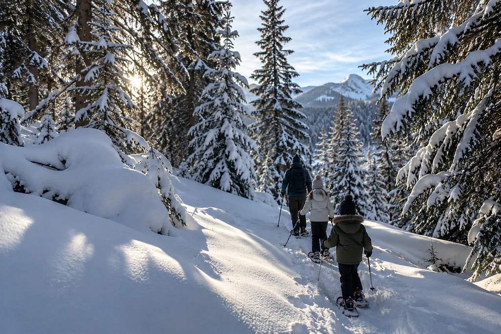
In winter, several of these areas remain accessible on foot or on snowshoes:
- Megève, the Mont d’Arbois loop via Les Pettoreaux: a groomed 2.3 km path, about 45 minutes and 83 m of elevation gain, starting from the Mont d’Arbois gondola, on the cross-country trails side.
- Megève, the Chemin du Calvaire: it has a winter route, a stone’s throw from the centre.
- Combloux, the Beauregard pasture: 6.2 km and 260 m of elevation gain on snowshoes from the La Cry car park, about 3 hours. Rated moderate, it is waymarked from 17 December to 26 March.
- Saint-Gervais: the small Saint-Nicolas loop (2.3 km, about 1 hour, easy) or the Le Bettex loop (4.9 km, about 1 hr 50).
To combine walking and skiing, see our guide to skiing in Megève.
FAQ – Easy hikes around Megève, Combloux and Saint-Gervais
What is the easiest walk around Megève?
The Croix du Bouchet loop: 4.4 km and 103 m of elevation gain on a paved road, about 1 hr 30 from the village. The Chemin du Calvaire is shorter (1.6 km) but steeper at the start.
Can you hike with a pushchair?
Yes. The Croix du Bouchet loop is suitable for city pushchairs. Moulin Contant and the Champet – Balancerie loop in Combloux can be done with an all-terrain pushchair, as can the walk to Notre-Dame de la Gorge.
Are the lifts open to walkers in summer?
Yes, mostly in July and August, and from late June for some, such as the Mont d’Arbois gondola in Megève. Dates change every year: check with the lift operators before you go.
Where can you walk in winter without skiing?
On the groomed Mont d’Arbois path via Les Pettoreaux, on the Chemin du Calvaire, on snowshoes up to the Beauregard pasture, or along the Bonnant to Notre-Dame de la Gorge.
Setting off on foot from your chalet
The nicest option is to set off on foot, without getting back in the car. At HOMKA, we can help you choose a home close to the trails: discover our chalets and apartments, explore our destinations and let our concierge service prepare your arrival. For the journey, our article how to get to Megève, Combloux and Saint-Gervais has you covered.
Sources
- Chemin du Calvaire (start, distance, elevation, time, chapels, dates, listing, winter route): megeve-tourisme.fr, “Le Chemin du Calvaire” and “Itinéraire rando hiver le Chemin du Calvaire”
- Moulin Contant: megeve-tourisme.fr, “Itinéraire rando : Moulin Contant”
- Croix du Bouchet loop: megeve-tourisme.fr, “Itinéraire rando Boucle de la Croix du Bouchet”
- Mont d’Arbois winter loop via Les Pettoreaux: megeve-tourisme.fr, “Itinéraire rando hiver Boucle Mont d’Arbois, Pettoreaux”
- Champet – Balancerie panoramic walk: combloux.com, route sheet
- Prapacot and Planset pastures: combloux.com, “Boucle pédestre Alpages de Prapacot et de Planset”
- Snowshoe route to the Beauregard pasture: combloux.com, “Itinéraire raquettes : l’Alpage de Beauregard”
- Lac des Évettes: combloux.com, “Petites Balades Le Lac des Évettes”
- Lac de Joux from Mont d’Arbois and Sentier des Écoliers: saintgervais.com, “Tous les itinéraires de randonnée” and route sheet “Le Lac de Joux depuis le Mont d’Arbois”; hautesavoiemontblanc-tourisme.com, route sheet “Le Lac de Joux depuis le Mont d’Arbois”
- Saint-Gervais snowshoe routes: saintgervais.com, “Les meilleures randonnées raquettes”
- 2026 summer lift opening dates: forfait.megeve.com (Megève lift company), “Forfaits été”; ete.ski-saintgervais.com, “Horaires des télécabines”; lesportesdumontblanc.fr, “Télécabine Megève été – Jaillet”